By Lisa Thibodeau
A team of Kanata software developers is helping drone pilots fly further than ever before, opening new opportunities ranging from inspecting remote oil pipelines to delivering pizzas through the sky.
Canadian and U.S. laws currently require pilots to be able to see their airborne drones at all times, preventing them from flying beyond their visual line of sight.
Many argue that this safety regulation is preventing drone technology from reaching its full potential, limiting the ability to use unmanned aerial vehicles to monitor far-flung infrastructure or assist with search-and-rescue operations, for example.
A team of Kanata North software developers is hoping to change that.
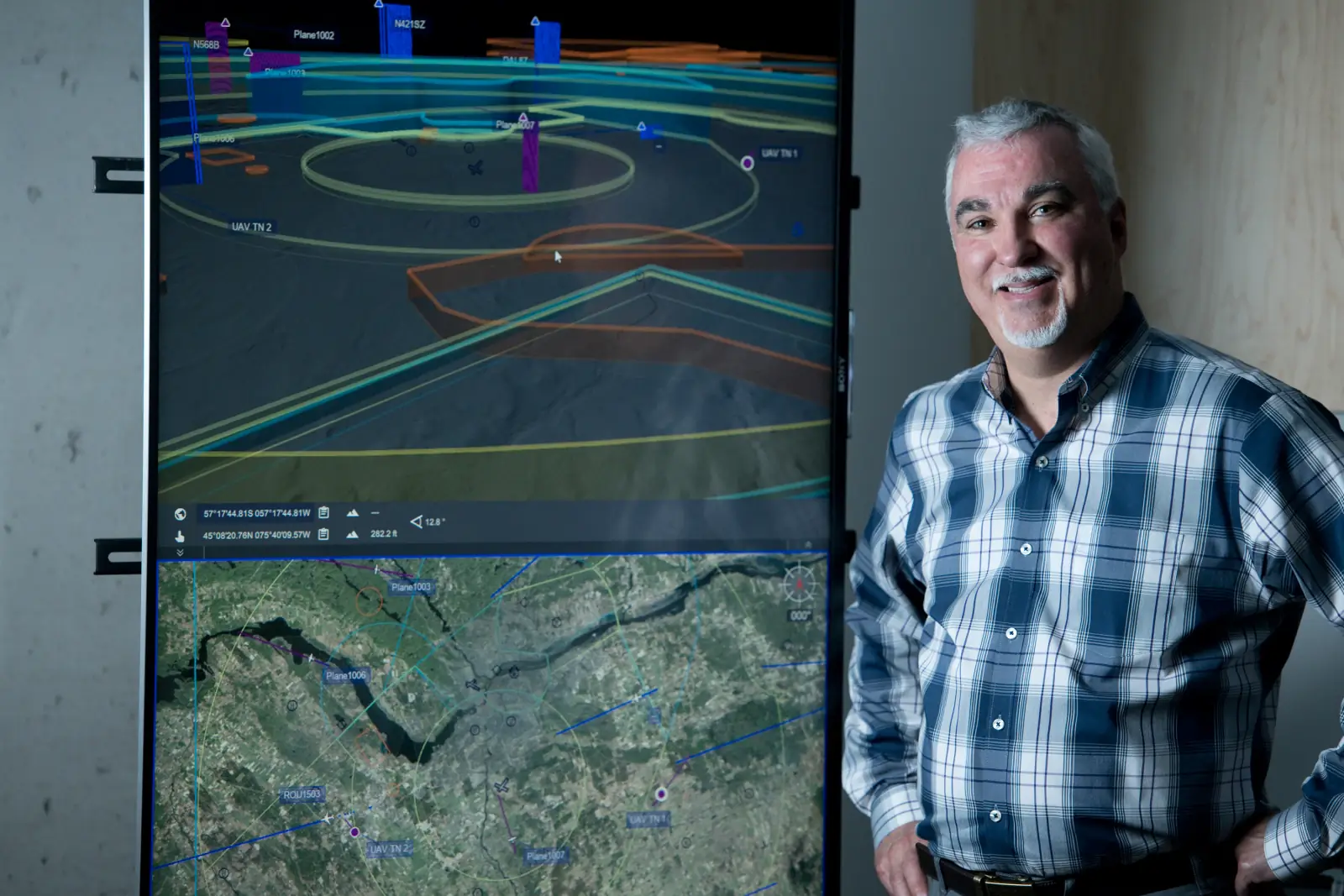
Kongsberg Geospatial, which specializes in developing mapping engines for air traffic controllers and military missions, recently branched out into the growing field of drone technology. One of its flagship software systems in the unmanned aerial vehicle sector is dubbed IRIS and equips drone operators with an abundance of information that makes navigating the skies safer.
That includes giving operators 2D and 3D terrain maps that highlight hazards such as trees, mountain ranges and restricted airspace such as airport zones. Sensors, cameras and GPS technology can also identify other drones and aircraft in the area and relay all that information back to the operator in a customizable real-time visual display screen.
Paige Cutland, IRIS program director at Kongsberg Geospatial, says he hopes the technology leads to regulatory changes for drone operators. Specifically, he’s looking for new rules that allow pilots to fly beyond their visual line of sight if they use a situational awareness display such as the one developed by his firm.
“We’re a little bit ahead of the game in terms of influencing regulation,” he says.
TESTING THE TECH
Formerly Gallium Visual Systems Inc., the company opened its doors in Kanata North in 1992 and remained in the tech park following a 2006 acquisition.
Although a large portion of its clients are in the U.S., being located in Kanata gives Kongsberg Geospatial a strategic advantage as the area is home to the top talent it needs to work on projects like IRIS.
The software was conceived roughly four years ago by repurposing and adding more GPS capabilities to existing technology used in missile systems that target aircraft.
Since then, IRIS has undergone multiple updates to integrate new data sources and drone technology into the display.
To help build its case for regulators, Kongsberg Geospatial is working closely with operators in various industries to demonstrate the value of flying beyond the visual line of sight.
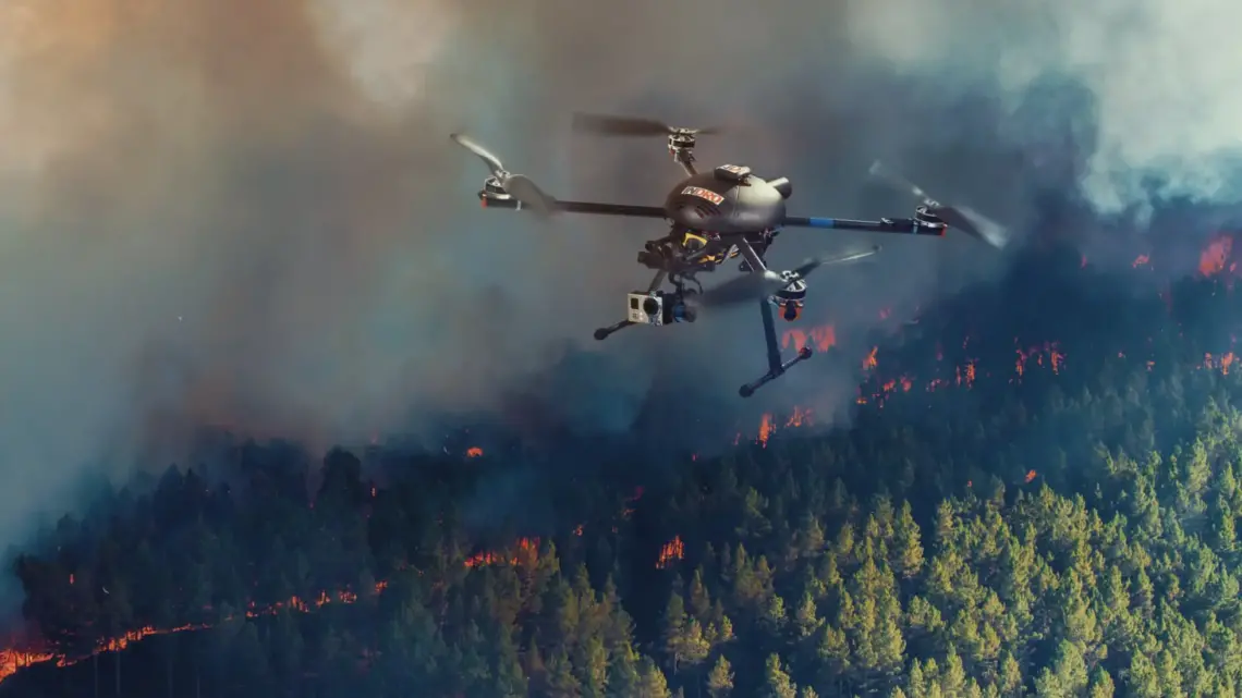
As users gain permission to experiment with the company’s technology, IRIS has helped energy workers in Nigeria monitor pipelines, hydro workers survey power lines and companies experiment with aerial pizza delivery.
More significantly, however, is the opportunity for first responders to use drones in emergency situations, says Mark Espenant, R&D project manager at the DRDC Centre for Security Science, a government agency.
UAV operators can use the IRIS system to search for missing children or lost hikers, deliver medical supplies to regions cut off by floods or landslides and provide critical information to police monitoring a crime scene.
“Let’s say you have a situation with bad guys and guns and the police want to take a closer look with less risk to them …with IRIS you can,” explains Espenant. “If only we had this technology five years ago during the Moncton shooting where four
RCMP officers were killed. Imagine how different that would have been if they sent
a drone in first to determine where the bad guy was.”
Kongsberg Geospatial teamed up with the DRDC Centre for Security Science, the RCMP and the County of Renfrew Paramedic Service in a project dubbed the Emergency Operations Airspace Management System.
The initiative is testing a variety of technologies, including the ability of IRIS to detect recreational drones that could impair the ability of medical helicopters or firefighting water bombers from responding to an emergency.
“There are so many scenarios where we can do useful things with drones,” says Espenant. “IRIS is really the centrepiece of these capabilities.”